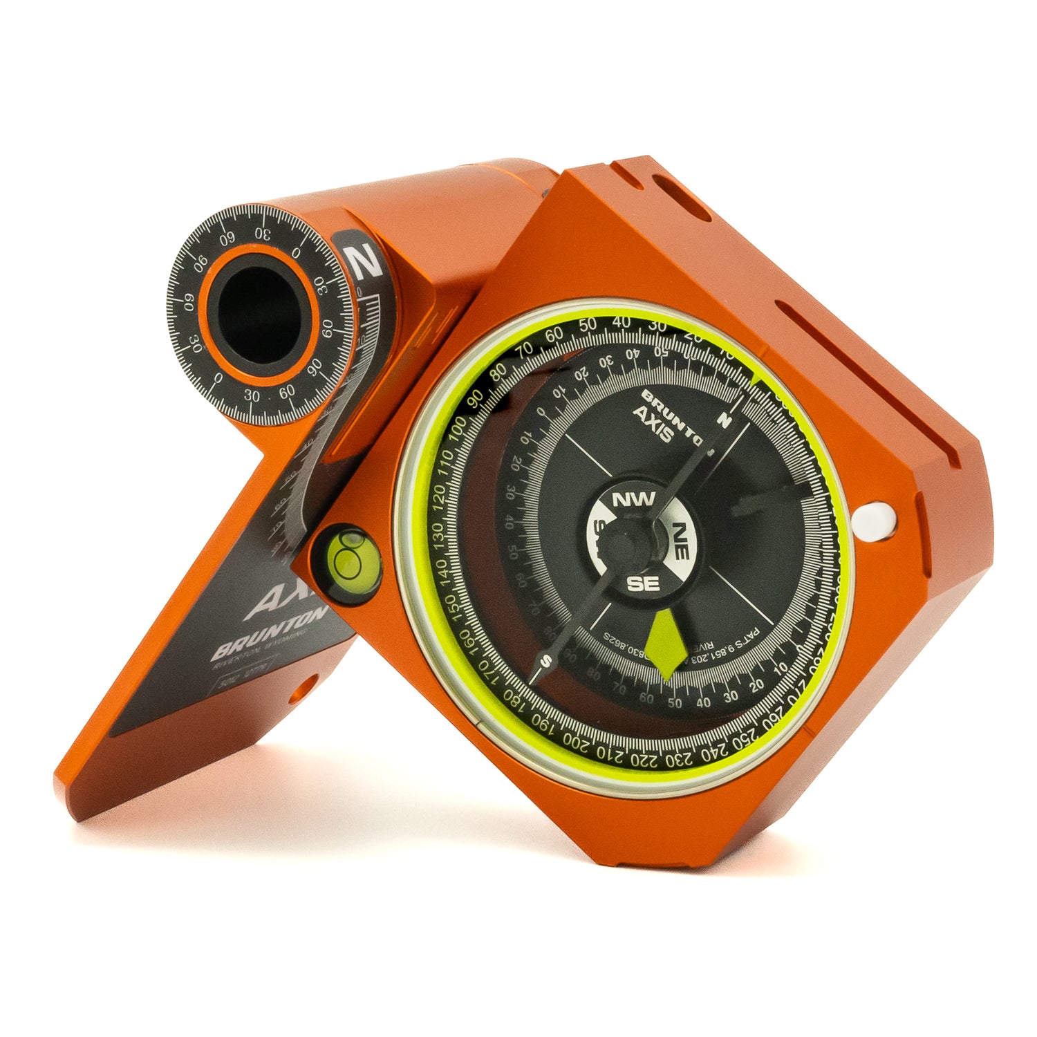
A map and compass (and how to use them) often tops the list of backpacking essentials. The Brunton Basic Compass Clinics are the first in an ongoing series of bite size educational facts to make compass and map use easy and accessible. Our goal is to address any negative stigmas or anxiety around using a compass and map that is often a roadblock for both new and experienced outdoors people. We hope to remove these barriers and help people navigate outdoors with confidence.
In the third installment of the Brunton Basic Compass Clinics, we’ll look at the anatomy of a full-featured compass commonly referred to as a mirrored baseplate or sighting compass and explain what everything does.
Mirrored Baseplate/Sighting Compass
In addition to the parts called out in the Clinic 102: Parts of a Basic Baseplate Compass (and showcased in illustration 1 and 2), Mirrored Baseplate Compasses have an additional set of features for more advanced readings (reference illustrations 3 and 4).
Illustration 1

Illustration 2

Sight(s)
The sighting, signaling mirror & sighting line are integrated into the cover. Align these sights for the most accurate bearings, whether taking or following a bearing in the field.
Illustration 3

Bubble Level
Offers an extra level of reference for those who need precision. Keeping the compass level is a critical aspect for taking an accurate bearing and the bubble level confirms when the baseplate is perfectly level.
Illustration 4

Declination Scale, Magnifying Glass and Index line
These features are often found on both Baseplate Compasses and Mirrored Baseplate compasses. The declination scale helps adjust the compass to true north, the index line is the point where we read the Azimuth Ring, and a magnifier is a great tool when reading maps.
---
Clinometer Arrow/Scale
Surveyors, foresters and people traveling in avalanche terrain rely on clinometers for measuring angles, whether slope angle or heights of peaks or trees.
---
Meridian Lines
Helpful markings on the baseplate of the compass for map work during pre-trip planning and align with the grid lines on maps.
---
Degrees (Azimuth and Reverse Azimuth)
These are a part of the Azimuth Ring/Bezel and as mentioned earlier, represent 360 degrees, with North being Zero degrees, East = 90, South 180 degrees, and West = 270 degrees. The more precise a compass, the more fine the increments of resolution. The most precise compasses having 1 degree increments.
---
Azimuth/Index Magnifier
The more precise the compass, the more information is getting fit into a small area. This magnifier helps reading, especially compasses with 1 degree resolution.
Want to know more basic compass information?
Check out our clinics with the link below, and make sure to check back as we are adding content.


