Winter is upon us, and what better way to enjoy ice cold temperatures and powdery cold smoke than getting out and skiing. While resort skiing is fun in its own right, getting out in the backcountry enables you to skip the crowds and explore untouched terrain. But with skiing or snowboarding in the backcountry comes the danger of avalanches. However, there are tools that can help mitigate risk and aid in safe decisions.
Safety Gear
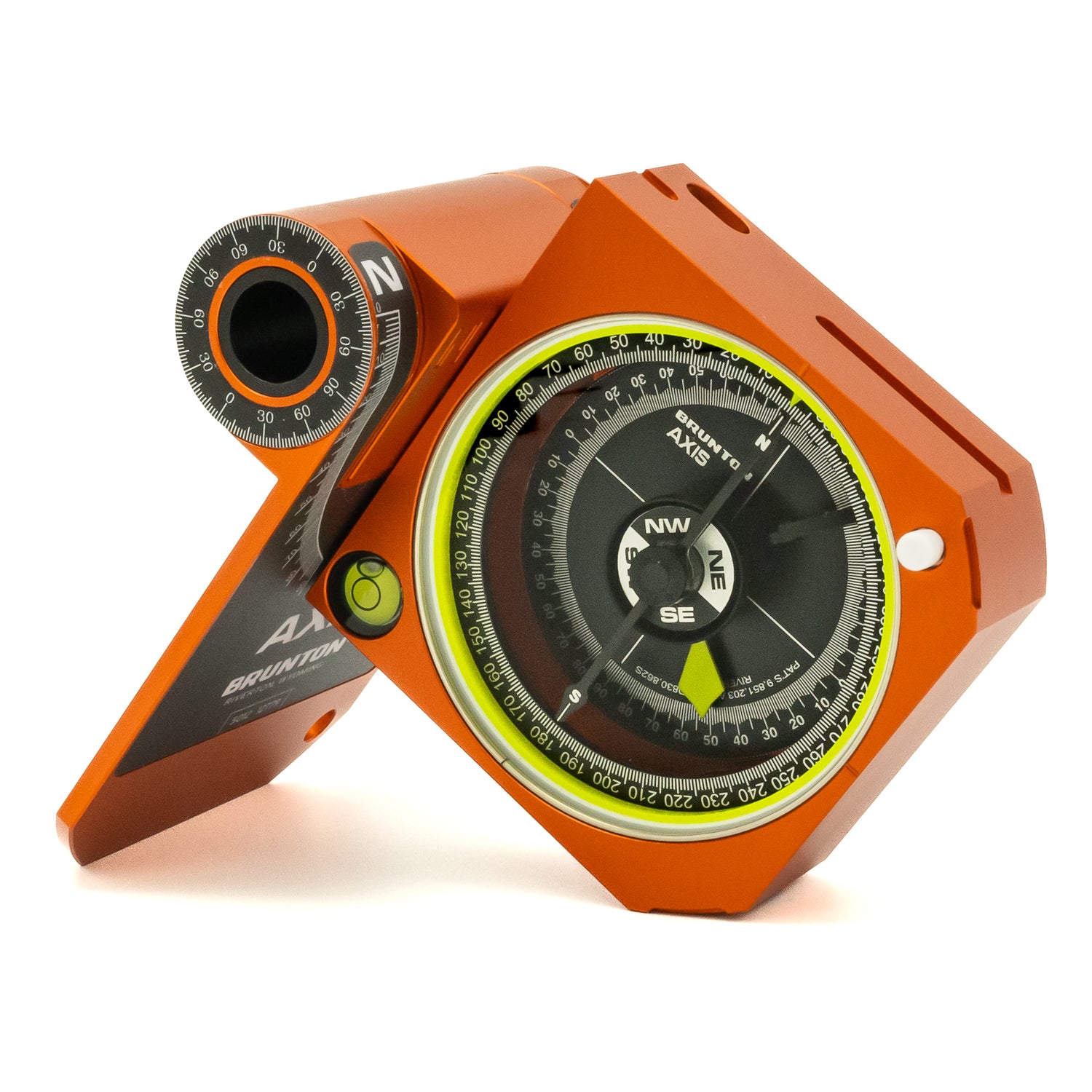
When ski touring in the backcountry, it is vital to have the following safety gear: shovel, probe, and a beacon in the event of an avalanche. But it’s also important to carry a topographic map and compass for route planning and for detecting avalanche prone territory.
Topographic Maps
Topographic maps show you many features within a given area; this includes the steepness of the terrain. The closer the lines get on a topo map, the steeper that area will be. These maps can help you determine slope angle, avalanche terrain, and the best areas to ski. In order to be prepared, you can draw the route you want to tour up and the line you want to ski down before you go out into the backcountry.
Whiteout Navigation
You can also use a topo map to create a whiteout navigation plan. This is in the event that a storm rolls in while you’re on your backcountry trip--leaving everything white and potentially unidentifiable. Mapping your whiteout navigation plan on a topographic map before you head out can potentially be life-saving. You can find some more details on whiteout navigation planning here.
Take a Class
Skiing or snowboarding in the backcountry can be an incredible experience. Be sure to research the area you plan to tour before you head out, and always check for avalanche danger. You can also take classes for avalanche safety where you learn about terrain assessment, snowpack, and weather. You can find a list of organizations that offer avalanche safety courses in the west at https://avalanche.org/.


