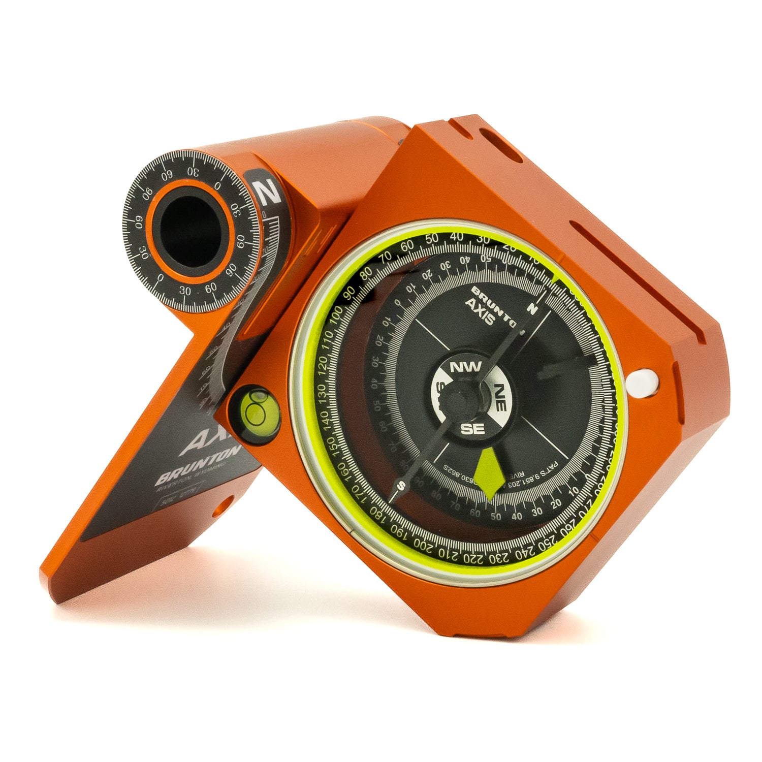
As a partner of SheJumps, we’re excited to share some of their expertise to make navigation and map basics entertaining and fun. Learn how topographic maps work with an understanding of contour lines!
Basics of Topographic Maps
Topographic (or topo) maps show the ups and downs of the landscape. Understanding how contour lines work helps you visualize what the map’s terrain will look like in person.

Contour lines
Topo maps have contour lines, which are the lines that indicate elevation lines (or how tall or steep the terrain is). The closer the contour lines on the map, the steeper the terrain. The further apart the line, the more gentle the terrain. Depending on the map, the spacing of the contour lines may vary from feet or meters and with different scales. Before you leave the trailhead, make sure to know how far the distance is between the contour lines.


Knowing how to read the contour lines will also help you identify ridges and valleys as well as give you an idea for the depth of field to try to image what the terrain may translate to before even going to that area.
About SheJumps:
SheJumps hosts events across the U.S. that offer a wide variety of outdoor activities ranging from wilderness survival and mountaineering to technical maintenance and skill-building clinics in a variety of disciplines. These events are educational and help women and girls to become self-sufficient in the outdoors.

